Ft Worth Fairmount
Clues to a 15-minute city
In the continuing series spotlighting special aspects of livable 15-minute cities, I look at the Fairmount neighborhood which sits on the south side of Ft Worth approximately two miles from downtown. Fairmount is a middle class neighborhood filled with a mix of detached houses and apartments, houses of worship, parks, schools, and a smattering of commercial. While it is known for the wonderfully renovated historic homes, I think there is a lot of ingenuity in its streets. They form a tight grid of short blocks which endear itself to finding varied routes and create shady walkways used by strollers, commuters, exercisers, and wanderers. The many T-intersections and narrow street widths (plus loads of on-street parking) keep racing drivers at bay. Fairmount is wonderful in its multiplicity with many lessons for those creating 15-minute neighborhoods.

Corner of W Maddox Av and S Lake St. L-intersection with incredible texture.

Fairmount Park in silver tone. Is this a movie set?
Location
The Fairmount neighborhood sits on the southside of Ft Worth TX, about two miles (3 km) from downtown, https://goo.gl/maps/PS7PcVT9cQPwDL8g9. It is comprised of 20 subdivisions platted between 1883 and 1907. The Fairmount-Southside National Historic District was designated in 1990.
The general Fairmount area, bounded by West Magnolia Avenue, Hemphill Street, West Jessamine Street, and Eighth Avenue is roughly 0.6 square miles (1.6 km2) in area. It is about 7/10 of a mile wide and 9/10 of a mile long (1.1 km x 1.4 km). One can walk it end to end in 14 and 18 minutes, respectively. Population is about 3900 with a density of 6500 per square mile (2500/km2).
Somewhat Walkable
The Fairmount area is "somewhat walkable, some transit, very bikable." It is the 5th most walkable neighborhood in Ft Worth.

Map of the Fairmount area, courtesy Open Street Map. Commercial is mostly on the north, west and east perimeter streets. Parks are in green. Schools are in yellow.
Blocks
Due to the multiple plats, Fairmount’s blocks are not monolithic. While parts are uniform, there are a number of happy circumstances where the grids intertwine to produce smaller or larger blocks, T-intersections and L-intersections. Some streets, i.e. College Avenue continue straight through the neighborhood, others, i.e. Fifth Avenue change alignments, while others, i.e. Maddox Street appear and reappear. In general, streets keep their same names regardless of alignment which assists in wayfinding.
Fairmount blocks range in size given the different plats and co-joining of plats. On the smaller side, the blocks are on a 265 ft x 430 ft (80m x 130m) grid. 265 ft is 20 blocks to a mile, the same as in Manhattan, Portland OR, and other highly walkable cities. On the larger side, the blocks are on a 375 ft x 615 ft (115m x 185m) grid. 375 ft is similar to the Eixample grid in Barcelona, a walkers’ paradise. The block between Ingram St and Feliks Gwozdz Place is but 110 ft (34m) wide and the block between West Baltimore Avenue and West Arlington Avenue is a mere 155 ft (47m).
There are 167 intersections in the neighborhood, which equates to 278 intersections per square mile (104/km2). This is similar to neighborhoods in Paris, San Francisco and Copenhagen. 43 are T-intersections, 19 are doglegs (double Ts), and two are L-intersections. In total, about 38 percent of the intersections are not regular – a considerable number given the industry’s proclivity for normalizing streets.

Map outlining the smaller blocks in the neighborhood.

Map showing the T-intersections, offset intersections (doglegs), L-intersections, and connecting streets. The numerous non-normal intersections probably owe their existence to the incremental development of the area. As a consequence, strolling around the neighborhood brings constant delight and minimal monotony.

Chase Court. One block long, gated mini-subdivision from 1906 with crape myrtles in the center of the road. Imagine your kids riding bikes here. https://hometownbyhandlebar.com/?p=2758.

T-intersection of Park Place Av at S Henderson St. All streets in Texas should have this much shade.
Streets
The ROW (right of way: the distance from property line to property line) of most streets is 50-60 ft (15-18m). Narrow streets can have ROW of 25 ft (8m). Fairmount Avenue has an 80’ (24m) ROW. Actual curb-to-curb widths have changed over the years but in general all would be considered yield streets because they are two-way with unrestricted parking on both sides. There were streetcars on College Avenue, Henderson Street and Fairmount Avenue – both narrow and wide streets. This suggests that streetcars were given priority over other vehicles on the narrow streets.
In the late 1980’s an S-curve was added to West Allen Avenue, where previously there were two adjacent T-intersections (originally Weatherbee and West Laurel Streets). This was done about the same time Allen was widened to the east and a better connection to Interstate Highway 35W was made. The net result was a faster flow of traffic, a loss of charm for the street, and an unfortunate division through the neighborhood.
Street names
Street name changes in Fairmount provide clues about the area and its development. The north-south streets have largely kept their original names, as they were extensions from previously existing streets. For example, Henderson Street continues through downtown. Two streets take their names from adjoining areas, helping with wayfinding. Park Place Avenue extends to the west into Forest Park, Ryan Place Drive was created along with Ryan Place (circa 1911) and extends south into that neighborhood, https://www.ryanplacefortworth.com. A number of streets have been combined and/or renamed to increase legibility: King Street was renamed to match Fairmount Avenue, Welch Street was renamed to match Hurley Avenue, Short Street was renamed to match Hawthorne Avenue, Bates Place was renamed to match Travis Avenue.

Dog-leg intersection at 6th Av and W Myrtle St. No one is speeding here.
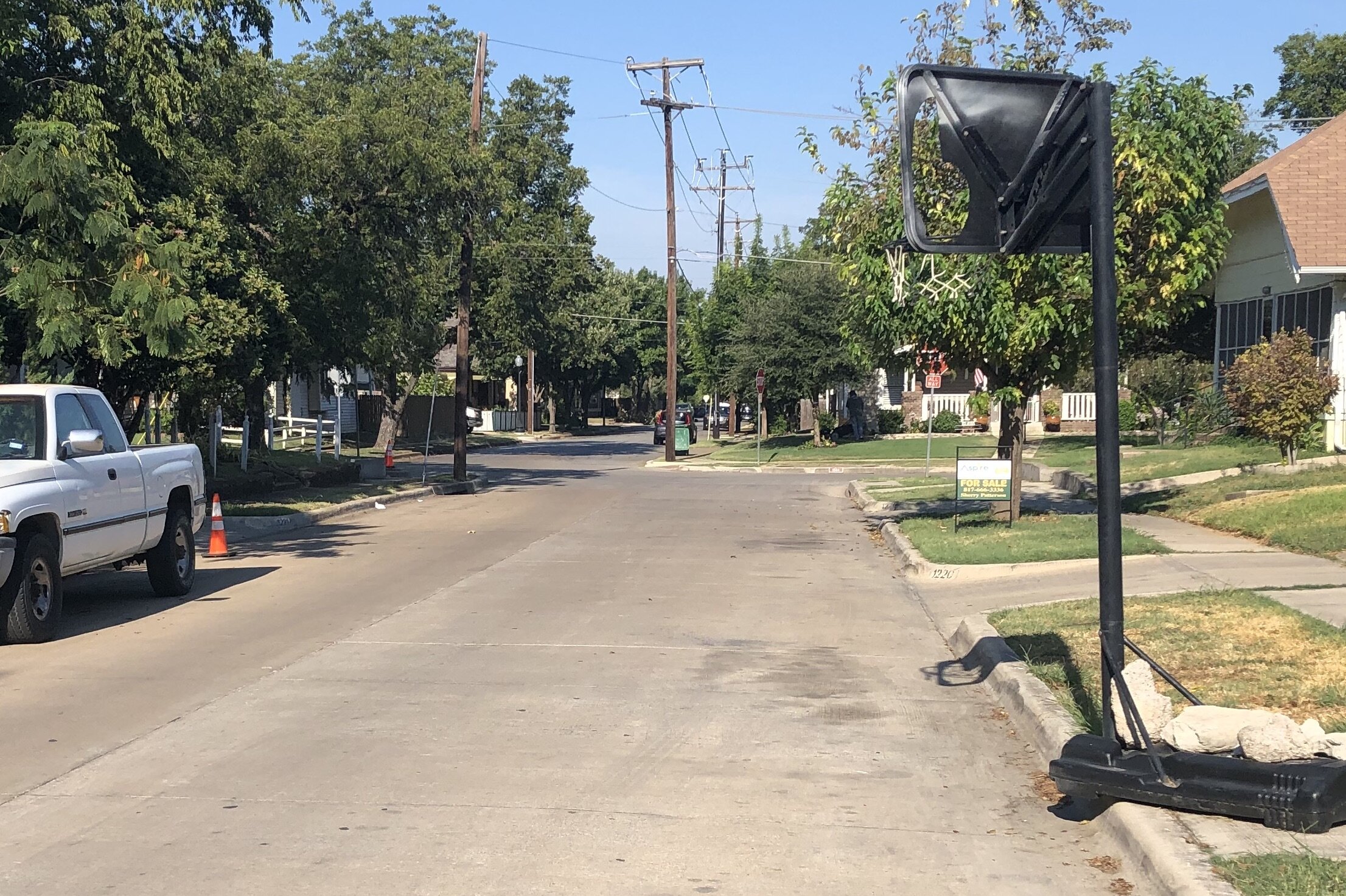
W Arlington Av at 5th Av. Dogleg intersection, hoops in the street, what’s not to love?

Ryan Place Dr begins at Carlock St and E M Dagget Middle School. Would be a perfect view corridor if the door was moved slightly to the left. Regardless, it is good to provide prominence to civic buildings.

W Baltimore Av. Super narrow, but still two-way. Is it an alley or a street? Does it matter?
Confederate names
It appears that a six of the streets renamed after 1910 make reference to the Confederacy. This would be consistent with the spate of monuments erected nearly 50 years after the Confederacy was defeated, see https://www.splcenter.org/20190201/whose-heritage-public-symbols-confederacy.
· Richmond VA was the capital of the Confederacy.
· The family estate of Robert E Lee, the commander of the Confederate Army, was confiscated by the federal government for non-payment of taxes and eventually became Arlington National Cemetery.
· Henry Allen was a brigadier general in the Confederate Army.
· George Maddox was acquitted for his participation in an 1863 guerrilla raid in Lawrence KS.
· Lewis Powell attempted to assassinate Secretary of State William Seward in 1865. He was sentenced to death by a military tribunal and executed.
But in this neighborhood woven with multiplicity, today one also sees Black Lives Matter signs and rainbow flags throughout these streets.
References
https://historicfairmount.com/
https://fortworthtexas.gov/developmentservices/historic-preservation/fairmount-southside/
https://www.fairmountcommunitygarden.org
Full disclosure: I spent my formative years in an adjacent neighborhood and my elder daughter’s middle name is Jessamine, after the street.